
Файл:Danube Delta ESA23450088.jpeg

Повна роздільність (15 404 × 15 404 пікселів, розмір файлу: 31,84 МБ, MIME-тип: image/jpeg)
Опис файлу
| Попередження | У деяких браузерах можуть виникнути проблеми при перегляді цього зображення у повній роздільності: це зображення має дуже велику кількість пікселів і може завантажитись зі спотвореннями, або спричинити зависання браузера. |
|---|
| Опис |
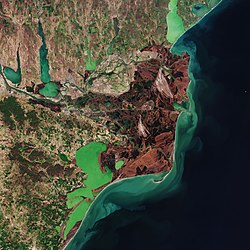
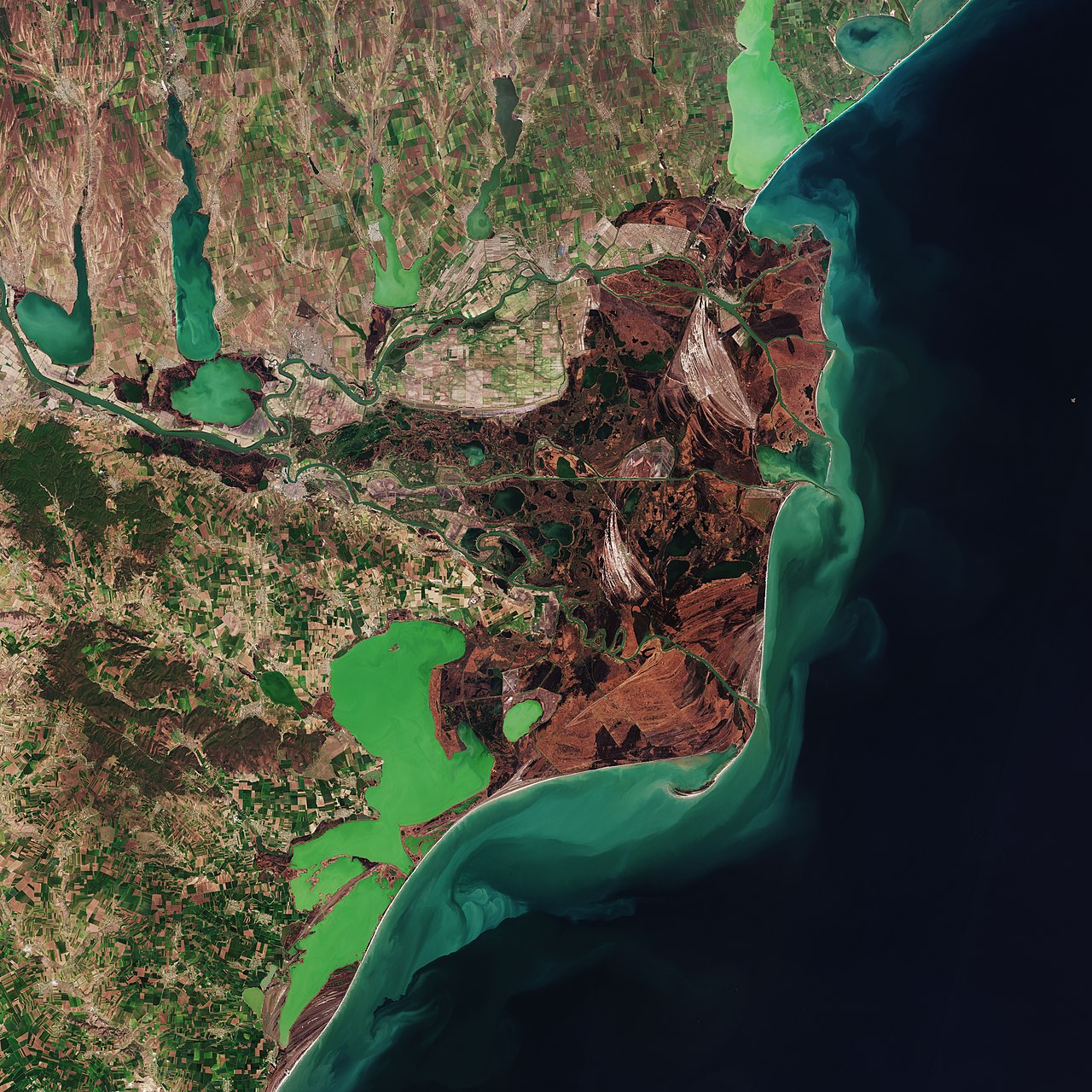
English: The Copernicus Sentinel-2 mission takes us over the Danube Delta – the second largest river delta in Europe. Zoom in to see this image at its full 10 m resolution or click on the circles to learn more about the features in it. The Danube Delta is a labyrinth of water and land shared between Romania and Ukraine, made up of countless lakes, channels and islands lying at the end of the 2860 km-long river of the same name. The Danube River rises in the Black Forest mountains in Germany and along its course, passes through 10 countries: Germany, Austria, Slovakia, Hungary, Croatia, Serbia, Bulgaria, Romania, Moldova and Ukraine before emptying into the Black Sea. The Danube Delta covers an area of some 4300 sq km and is known for its abundance of birdlife, as it hosts more than 300 species of birds as well as 45 species of freshwater fish in its numerous lakes and marshes. In 1991, the Romanian part of the Danube Delta became part of UNESCO’s list of World Heritage Sites. In this true-colour image, captured in April 2020, the vast reed beds can be seen in shades of brown which is typical during this time of year. The Danube is visible (in the left of the image) before splitting into the various channels and branches that flow through the reeds and grassland before reaching the Black Sea. The distinct light-green colours in the sea are likely due to sediment being carried by the river. Just south of the Danube Delta lie the lagoons of Razim (Razelm) and Sinoe, visible in emerald green owing to a high concentration of algae. This lagoon complex was formed with the help of the Danube’s alluvial deposits and the gradual eastward movement of the coastal currents caused by the advancement of the delta. In the top-right of the image lies the Sasyk, or Kunduk, Lagoon in southern Ukraine. The site has been designated as Ramsar Wetland Site as it is important for migrating, breeding and moulting waterbirds. Data gathered by the Sentinel-2 satellites are used for monitoring land use and changes, land management, agriculture, forestry and natural disasters (floods, forest fires, landslides and erosion). Offering colour vision for the Copernicus programme, Sentinel-2 delivers optical images from the visible to short-wave infrared range of the electromagnetic spectrum. This image is also featured on the Earth from Space video programme. |
| Час створення | 10 вересня 2021 (дата завантаження) |
| Джерело | Danube Delta |
| Автор | European Space Agency |
| Інші версії |
|
| Activity | Observing the Earth |
| Mission | Sentinel-2 |
| Set | Earth observation image of the week |
| System | Copernicus |

.jpeg)
.jpg)


|
Це місце входить до списку об’єктів Світової спадщини ЮНЕСКО, під назвою Danube Delta. |
Оцінка
|





Ліцензування

|
This image contains data from a satellite in the Copernicus Programme, such as Sentinel-1, Sentinel-2 or Sentinel-3. Attribution is required when using this image.
Зазначення авторства: Contains modified Copernicus Sentinel data 2020
The use of Copernicus Sentinel Data is regulated under EU law (Commission Delegated Regulation (EU) No 1159/2013 and Regulation (EU) No 377/2014). Relevant excerpts:
Free access shall be given to GMES dedicated data [...] made available through GMES dissemination platforms [...].
Access to GMES dedicated data [...] shall be given for the purpose of the following use in so far as it is lawful:
GMES dedicated data [...] may be used worldwide without limitations in time.
GMES dedicated data and GMES service information are provided to users without any express or implied warranty, including as regards quality and suitability for any purpose.
|
 |
This media was created by the European Space Agency (ESA).
Where expressly so stated, images or videos are covered by the Creative Commons Attribution-ShareAlike 3.0 IGO (CC BY-SA 3.0 IGO) licence, ESA being an Intergovernmental Organisation (IGO), as defined by the CC BY-SA 3.0 IGO licence. The user is allowed under the terms and conditions of the CC BY-SA 3.0 IGO license to Reproduce, Distribute and Publicly Perform the ESA images and videos released under CC BY-SA 3.0 IGO licence and the Adaptations thereof, without further explicit permission being necessary, for as long as the user complies with the conditions and restrictions set forth in the CC BY-SA 3.0 IGO licence, these including that:
See the ESA Creative Commons copyright notice (archived from original), the ESA Portal Multimedia Gallery copyright notice for complete information, and this article for additional details.
|
 |
   Цей файл розповсюджується під ліцензією Creative Commons Attribution-ShareAlike 3.0 IGO Зазначення авторства: ESA, CC BY-SA IGO 3.0
 | ||
Історія файлу
Клацніть на дату/час, щоб переглянути, як тоді виглядав файл.
| Дата/час | Мініатюра | Розмір об'єкта | Користувач | Коментар | |
|---|---|---|---|---|---|
| поточний | 12:33, 10 вересня 2021 | | 15 404 × 15 404 (31,84 МБ) | wikimediacommons>OptimusPrimeBot | #Spacemedia - Upload of https://www.esa.int/var/esa/storage/images/esa_multimedia/images/2021/09/danube_delta/23450078-1-eng-GB/Danube_Delta.jpg via Commons:Spacemedia |
Використання файлу
Такі сторінки використовують цей файл:
